A First-Timer's Guide to Hawaii Volcanoes National Park
Where to start in a park that runs from the ocean to 13,680 feet.
Hawaii Volcanoes is not a "drive through and tick the box" park. It protects the summits of two of the world's most active volcanoes (Kilauea and Mauna Loa) and stretches from sea level to 13,680 feet, which means the weather, the crowds, and the volcano itself can change on you fast. Here's how to plan a first visit that actually works.
When to go
The park is open 24 hours a day, 7 days a week, year-round, and there's no single "best" season. The Big Island doesn't really do winter the way the mainland does. A few notes:
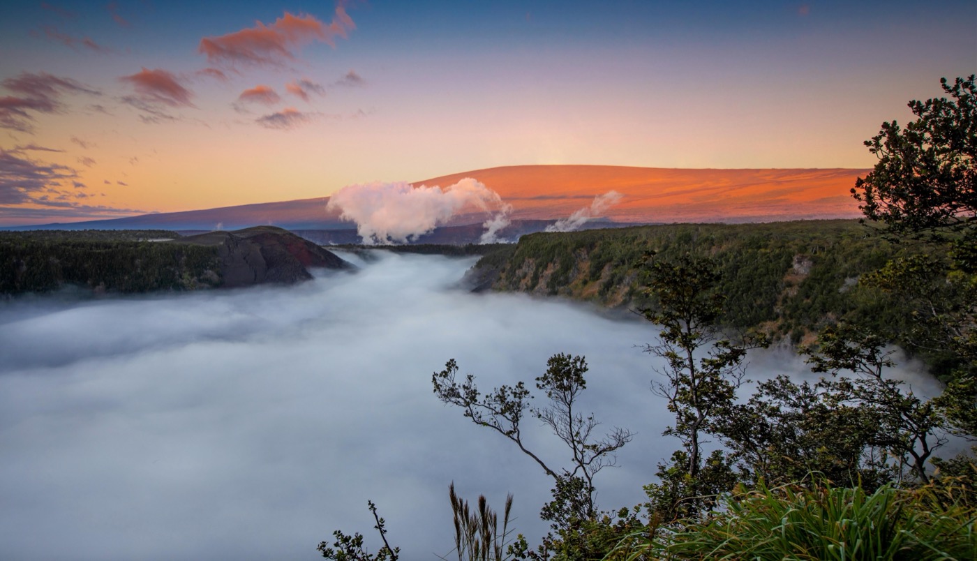
- Mornings are your friend. The summit of Kilauea sits around 4,000 feet and is often rainy and chilly any time of year. Clear, calm mornings give you the best odds for views before clouds roll in.
- Pack for two climates. The summit can run 12 to 15 degrees cooler than the coast. The coastal plain at the end of Chain of Craters Road is often hot, dry, and windy. Bring a rain layer and don't trust the beach forecast for the crater rim.
- Go at night if the volcano is glowing. When Kilauea is erupting, the lava glow at Halemaumau is most dramatic after dark. Check the park's current eruption status before you build your day. It changes constantly.
How to get in
The park is on the Island of Hawaii. From Hilo it's about 30 miles southwest on Highway 11, roughly a 45-minute drive. From Kailua-Kona, plan on 2 to 2.5 hours via Highway 11. There's no reservation system to enter. You just drive up to the entrance station.
A private vehicle pass is $30 and covers everyone in the car for 7 days. Motorcycles are $25, and anyone arriving on foot or by bike pays $15 (free for ages 15 and under). Your first stop should be the Kilauea Visitor Center for current trail and eruption conditions, then on to the Crater Rim Drive area.
The best first hikes
If you only have a day, here's where a first-timer should spend it, all real, named, well-marked routes:
- Kilauea Iki Trail. The signature hike. You descend through rainforest and walk straight across the floor of a crater that was a churning lava lake in 1959. It's a loop of a few miles with some elevation, and it's the one most people remember.
- Nahuku (Thurston Lava Tube). A short, mostly flat walk through lush forest into a lit lava tube. Easy enough for kids and a quick payoff if you're short on time.
- Devastation Trail. A paved, level path through a landscape buried by cinder from the 1959 eruption. Good for strollers, tired legs, and a stark before-and-after lesson in how the land recovers.
- Kupinai Pali (Waldron Ledge). A gentle out-and-back along the caldera edge with big rim views and far less foot traffic than the marquee trails.
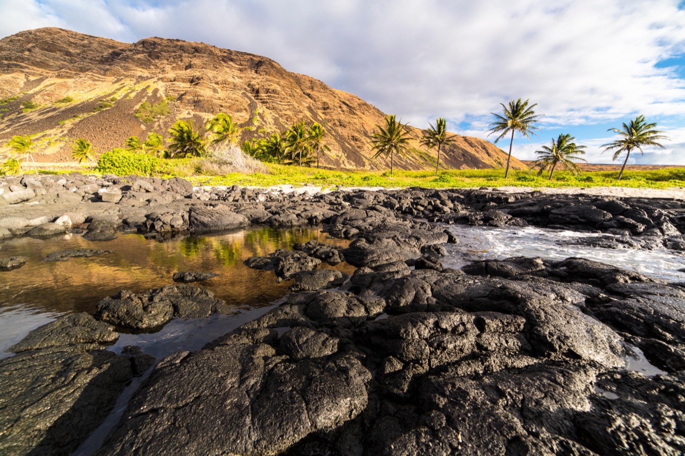
- Puuloa Petroglyphs Trail. Out on the Chain of Craters Road, a boardwalk leads to the largest concentration of petroglyphs in Hawaii, a cultural stop, not just a scenic one.
Don't skip Chain of Craters Road
Chain of Craters Road drops roughly 3,700 feet from the summit to the coast over about 19 miles, ending where an old lava flow buried the road. It's the single best way to see the scale of the place from the car, with pullouts at old craters and lava fields the whole way down. Budget a few hours round-trip, fuel up first (there's no gas past the entrance), and remember the coast is hot and exposed even when the summit is cool and wet.
A note on dogs
Be honest with yourself before you bring the dog: like most national parks, Hawaii Volcanoes does not allow pets on its trails. Dogs are generally restricted to paved areas, parking lots, roadsides, and developed spots. Not the crater hikes or backcountry. Given the heat on the coastal end and the long drive, this is usually a park to visit without the pup. Check the park's pet rules before you go.
Planning the real thing? Nestward builds a day-by-day plan for this park in minutes, free, no subscription. See how it works →